Road Conditions Notice: Road conditions can change due to construction or rockslides. Before relying on these directions, verify roads are open by calling the Great Smoky Mountains National Park at 865-436-1200.
View Seasonal Road Closures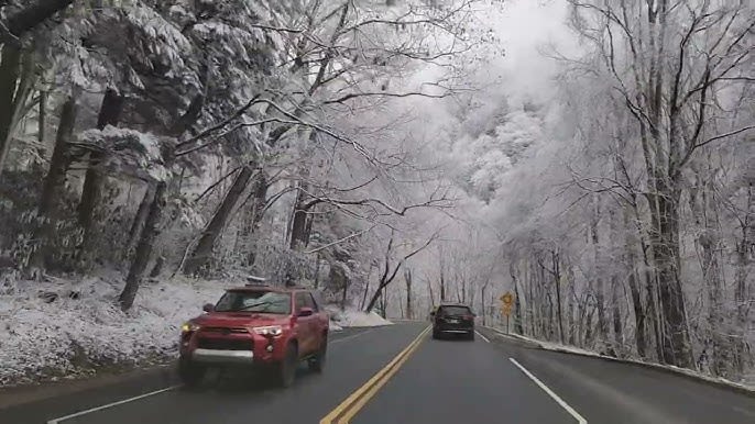
In and Around Pigeon Forge
Traffic lights along the Pigeon Forge Parkway are numbered starting at #1 on the north end (near Sevierville) and counting up as you head south toward Gatlinburg. Locals refer to intersections by light number, so when someone says "turn at light #8," that is how you find it.
Teaster Lane
Runs east of the Parkway from traffic light #2 to Dollywood Lane. Turn left at light #2 from Sevierville. Can also access from Jake Thomas Road at light #5. This is your go-to route for bypassing central Pigeon Forge traffic, especially during peak season. Teaster Lane is quieter and more direct when the main Parkway is congested.
Florence Street
Runs off Wears Valley Road, a block west of the Parkway. Runs parallel to the main strip but changes names as it goes. It becomes Rena past the Pigeon Forge Civic Center. Turn left at the Civic Center corner or you'll get lost. This western bypass is especially useful when you want to avoid downtown Pigeon Forge entirely.
Smoky Mountain Shortcuts
Sevierville to Pigeon Forge via Veterans Boulevard
From HW 66, turn left at Dolly Parton Parkway (US 411/441). About a mile later, turn right on Veterans Boulevard. Five miles of peaceful farmland, then you're at the Dollywood parking lot. Merges with Dollywood Lane near traffic light #8. Perfect if you're coming from the south and want to avoid the main Parkway congestion entirely.
I-40 West to Pigeon Forge Outlets via Chapman Highway
From Knoxville on I-40, exit 388 onto US 441 (Chapman Highway) south. Past Seymour, turn right on White's School Road (look for Dynamite Gas Station), then right on Goose Gap Road. Winds 5 miles through foothills to Walden's Creek Road. Straight across to Old Valley Road, which becomes Russie Gap Road. Ends on US 321 in Wears Valley. Turn left for Tanger and Belz outlet malls. This route saves time and avoids outlet mall traffic.
Western and Eastern Park Entrances
Western Route via Townsend
From I-40, exit at Hwy 129 near Knoxville Airport. Continue to Maryville, then Hwy 321 to Townsend. Enter park via Little River Road toward Sugarlands Visitor Center. This scenic western approach is less crowded than main routes and offers beautiful mountain views as you ascend toward the park.
Eastern Route via Cosby
From I-40 West, exit 443 then Hwy 321 through Cosby to Gatlinburg. This eastern approach bypasses the typical north-south traffic patterns and is excellent for visitors coming from Knoxville who want a quieter entry into Gatlinburg and the national park.
Sevierville to Gatlinburg Backroad
Pittman Center to Glades Road Loop
From HW 66, turn left at Dolly Parton Parkway (US 411/441). Go straight through Veterans Boulevard light. Pass industrial park on your right and Sevier County High School on your left. Turn right on Pittman Center Road (HWY 416). After 5 miles, road turns left but go straight onto Birds Creek Road. Follow 4 miles to stop sign in the Great Smoky Arts and Crafts Community. Go straight. After a mile, right turn only at Glades Road intersection. Turn right for downtown Gatlinburg (Glades Road ends at US 321, 2 miles from downtown). Or bear left onto Buckhorn Road for lodging east of Gatlinburg (continues to US 321 toward Pittman Center, Cobbly Nob, Brandywine, Bent Creek). This scenic backroad offers a completely different experience from the main Parkway and showcases authentic local mountain culture.
In and Around Gatlinburg
Parkway Spur Bypass
Just past the Gatlinburg Welcome Center. This is a must-use route for national park access. Bypasses downtown traffic completely and gets you to park entrances much faster. Always use this when heading to the national park.
Baskins Creek and Cherokee Orchard
From US 321 heading west, look for Baskins Creek Bypass on left (halfway around a sweeping curve). Becomes Newton Lane, then intersects Cherokee Orchard Road. Turn left onto Cherokee Orchard, which climbs to Historic Nature Trail Road. Turn left to exit town. Great for bypassing downtown Gatlinburg when you're lodging in surrounding areas.
River Road Bypass
Turn right at Gatlinburg traffic light #5 onto River Road. Connect to Ski Mountain Road, then into the national park. This eastern approach to the park is quieter and avoids downtown Gatlinburg entirely.
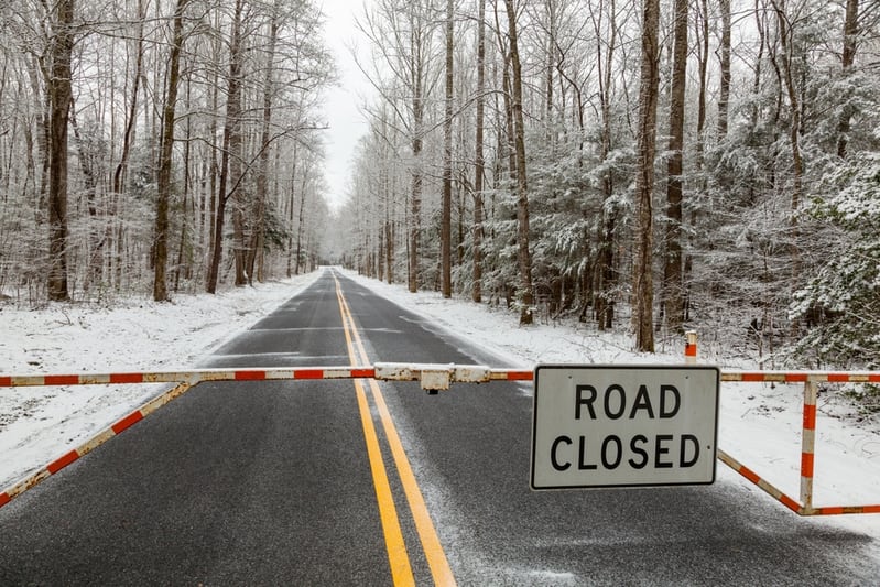
Seasonal Road Closures in the National Park
Several roads inside the Great Smoky Mountains National Park close each winter due to snow, ice, and hazardous conditions at higher elevations. Plan around these if you're visiting between late fall and early spring.
Kuwohi Road
The scenic two-lane paved road from Newfound Gap Road to Kuwohi Visitor Center. Subject to snow and ice at elevation. Still accessible by foot from Newfound Gap (7 miles each way) for winter hikers and cross-country skiers.
Roaring Fork Motor Nature Trail
A narrow, one-way road with steep sections that can be severely impacted by winter weather. One of the most popular scenic drives in the park during warmer months.
Heintooga Ridge Road
High-elevation road closed during winter months. Check with the park for exact dates each year, as closures depend on weather conditions.
Parson Branch Road
One-way gravel road connecting Cades Cove to US 129. Closed during winter and may also close after heavy rain events due to its remote, unpaved nature.
Rich Mountain Road
Gravel road connecting Cades Cove to Townsend. A scenic backcountry route that closes in winter and during poor weather conditions.
Forge Creek / Little Greenbrier
Lower-elevation roads that still close during winter. Little Greenbrier Road connects to the Metcalf Bottoms area and is a popular spring drive.
Roads that may close temporarily: Upper Tremont Road, Wear Cove Road, and Cataloochee Road can close during severe weather even outside of scheduled seasonal closures. Cades Cove Loop Road stays open year-round but may close briefly during extreme conditions. Newfound Gap Road is typically open all year. Always check conditions by calling 865-436-1200 before heading into the park during winter months.
Don't approach the national park from I-40 exit 407. That puts you in the middle of outlet shops and Parkway traffic jams. Instead, stay on I-40 to exit 443 and enter through Gatlinburg via Highway 321.
Need Help Finding the Best Route?
Our concierge team knows every shortcut in the Smokies and can give you turn-by-turn guidance based on your cabin location.