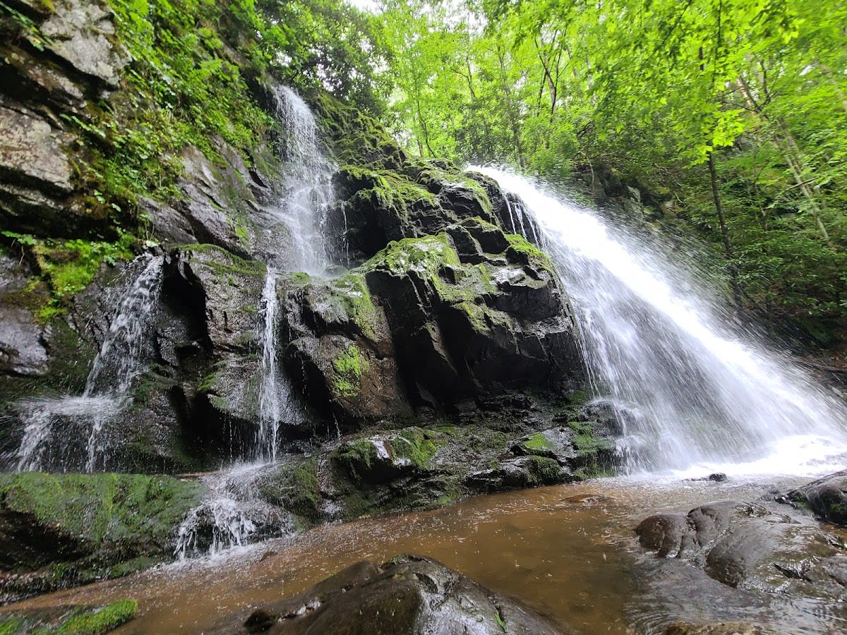
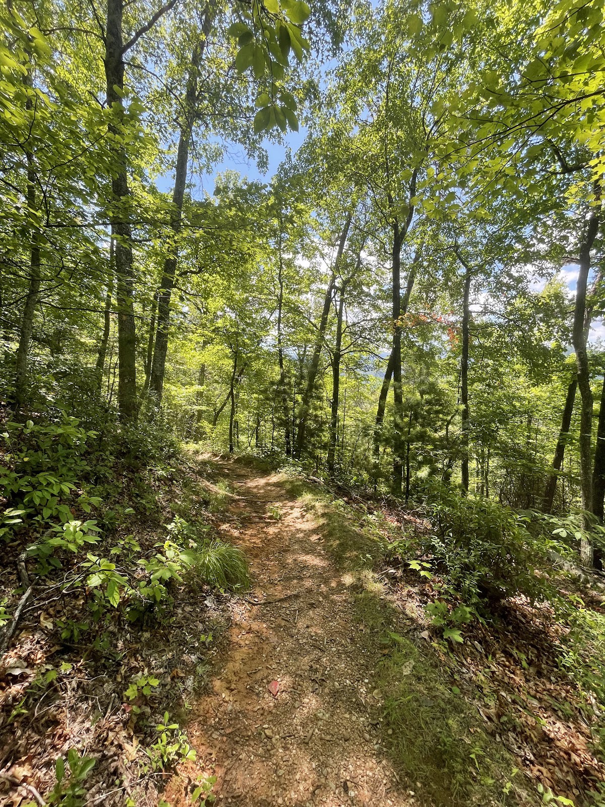
Lumber Ridge Trail is a rugged hiking route located in the Great Smoky Mountains National Park near Kuwohi, Tennessee. This trail follows a scenic ridge that offers hikers breathtaking overlooks and dense forest surroundings. It is favored by experienced hikers who seek a moderately strenuous challenge combined with rewarding views of distant mountain ranges. The trail’s natural beauty and quiet seclusion make it a memorable experience for those prepared for its terrain. Along the way, hikers encounter diverse plant life and occasional wildlife sightings.
The trail runs along a ridge shaped over millions of years by geological uplift and erosion that formed the Smokies. This area was once logged extensively in the early 20th century, which influenced the landscape and forest regeneration visible today. The name Lumber Ridge reflects this logging history, reminding visitors of the region’s past industry before its preservation as part of the national park. Native American tribes, including the Cherokee, once traversed these mountains, leaving cultural legacies in the broader region. The trail’s rugged terrain is a testament to the park’s ongoing natural evolution.
Hiking Lumber Ridge Trail requires preparation due to its steep sections and uneven footing. Visitors often start early to avoid afternoon heat and to catch clear views from the ridge’s overlooks. The trail is less crowded than nearby popular routes, allowing for a peaceful experience immersed in nature. Along the way, hikers can pause to admire distant peaks and the layered forests below. Wildlife such as white-tailed deer and various songbirds are commonly spotted, adding to the trail’s appeal for nature lovers.
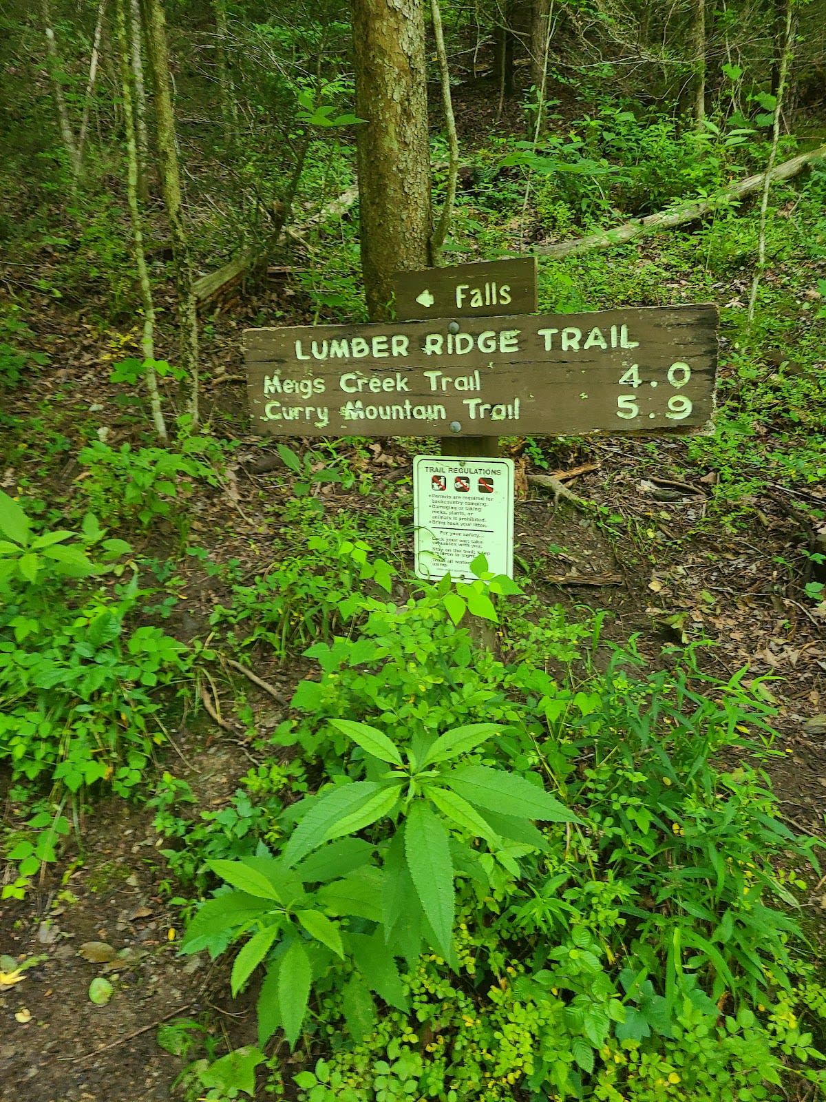
Lumber Ridge Trail is approximately 6 miles round trip, with moderate to challenging elevation changes.
The trail is best suited for experienced hikers due to steep sections and uneven terrain; beginners should consider easier routes nearby.
There are no reliable water sources on the trail, so hikers should carry sufficient water for the entire trip.
Yes, common sightings include white-tailed deer, various birds, and occasionally black bears, so stay alert and respect wildlife.
Backcountry camping is allowed with a permit in designated areas of the park, but not directly on the trail itself.
Branded Locale sticker set arriving soon. Use the heritage benchmark and the editorial portrait on your water bottle, laptop, or Instagram story.