Outdoors - Hiking Trails
Cataloochee Divide Trail: A Remote Journey Through Smoky Mountain History and Wilderness
Hidden Gems
Nature Lovers
Scenic Views
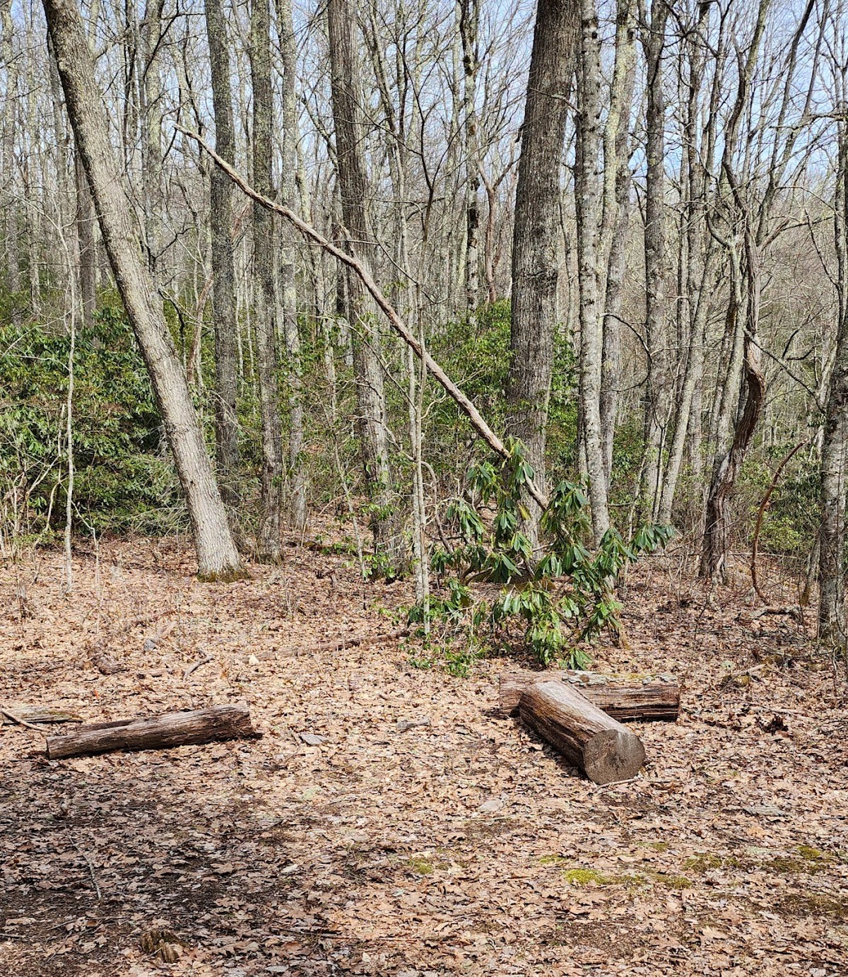
The Cataloochee Divide Trail is a challenging terrain trail that winds through the diverse landscapes of the Smoky Mountains, crossing from North Carolina into Tennessee. It offers hikers a chance to experience remote wilderness areas with panoramic overlooks and quiet forest paths. The trail is well-suited for those looking to escape crowds and immerse themselves in nature. Along the way, visitors can discover historic remnants from early settlers and enjoy a peaceful atmosphere rarely found on more popular routes.
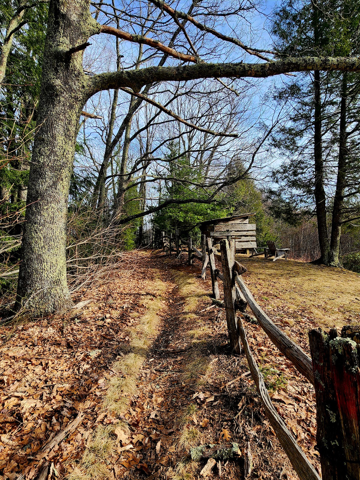
This trail follows a ridge line that has long been significant to the region’s natural and cultural history. The geology of the area reveals ancient mountain formations shaped by millions of years of erosion and uplift. Cataloochee Valley, near the trail’s southern sections, was once a thriving Appalachian farming community before becoming part of the national park. Many historic cabins and structures remain, offering insight into the lives of early residents. The trail’s path through both North Carolina and Tennessee highlights the interconnected nature of the Smokies’ geography and heritage.
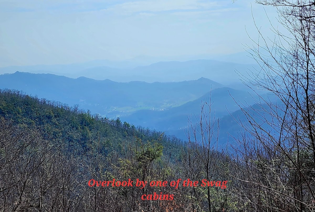
Hiking the Cataloochee Divide Trail provides a rewarding experience for those prepared for its length and elevation changes. Expect solitude and the sound of the forest, with occasional sightings of wildlife such as deer or black bears. The trail’s overlooks are perfect spots for resting and taking in expansive views of the surrounding mountains. Because the route passes through less trafficked areas, hikers should be equipped with navigation tools and adequate supplies. The mix of natural beauty and historical elements makes the journey fulfilling for both outdoor enthusiasts and history fans.
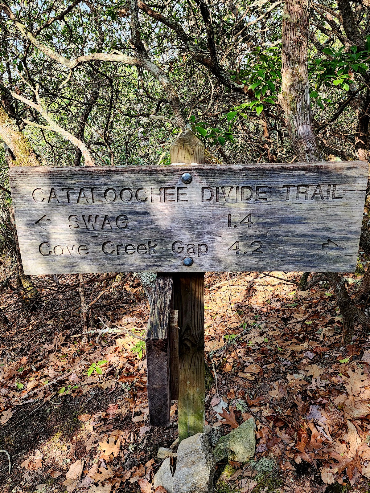
The trail stretches approximately 20 miles, depending on your starting and ending points, making it suitable for multi-day backpacking trips.
Due to its rugged terrain and length, the Cataloochee Divide Trail is recommended for experienced hikers with good fitness levels.
There are some streams and springs along the route, but hikers should carry sufficient water or bring purification methods.
Camping is allowed in designated backcountry sites with a permit; check with park authorities for regulations and site locations.
Visitors may see deer, black bears, wild turkeys, and a variety of bird species; always observe wildlife from a safe distance.
Branded Locale sticker set arriving soon. Use the heritage benchmark and the editorial portrait on your water bottle, laptop, or Instagram story.