Outdoors - Hiking Trails
Boulevard Trail: A High-Elevation Passage Through the Great Smokies
Hidden Gems
Nature Lovers
Scenic Views
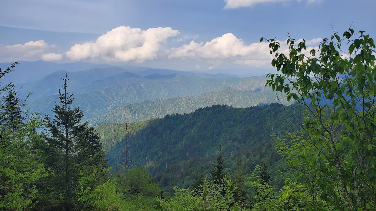
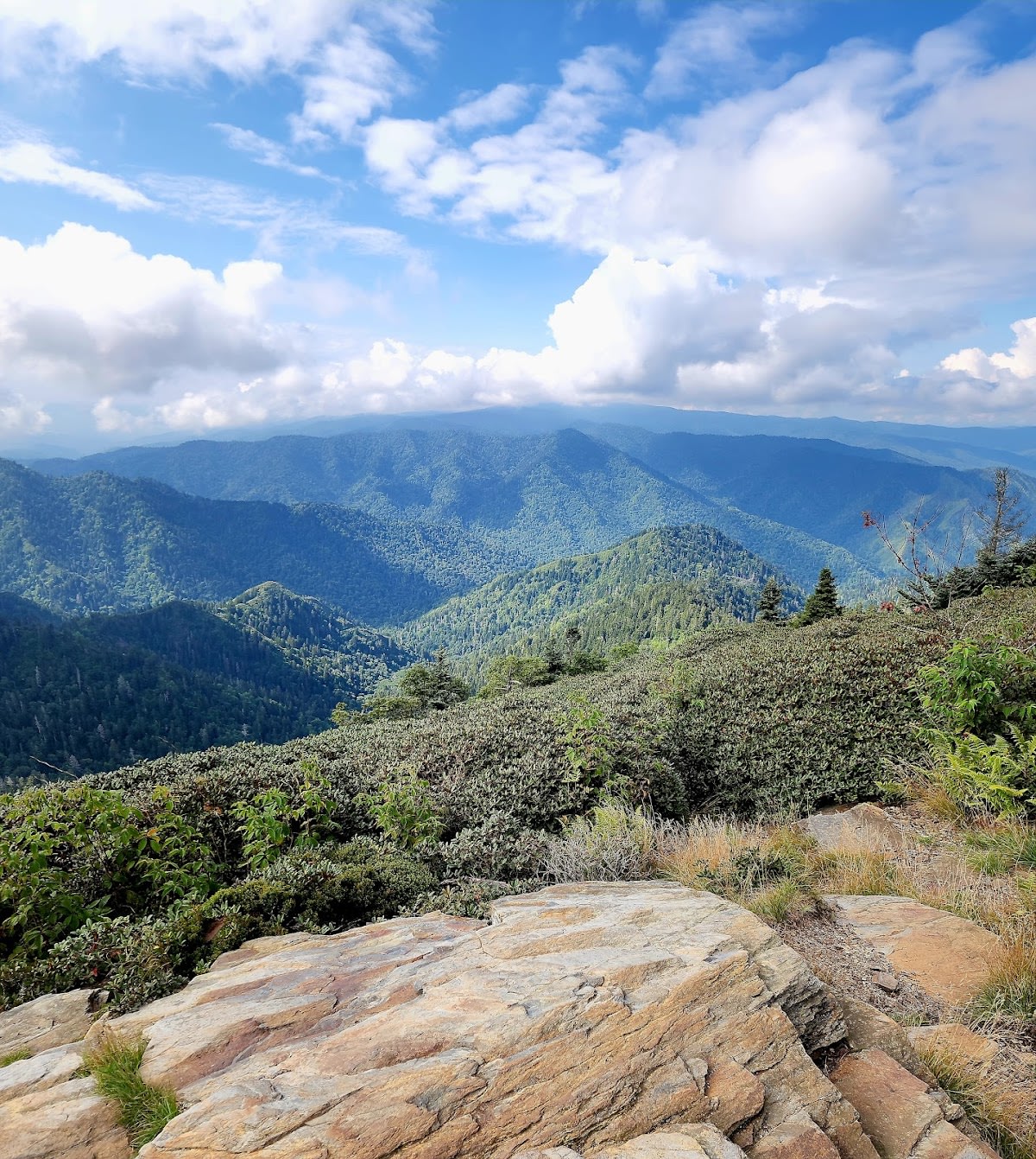
The Boulevard Trail is a stunning high-elevation hiking route that connects Newfound Gap to Mount LeConte in Great Smoky Mountains National Park. This mostly level trail offers hikers a unique perspective on the park's diverse terrain, winding through lush spruce-fir forests and open ridges. At just over 8 miles one way, it provides a quieter alternative to the more popular routes to Mount LeConte. The trail is well-maintained and features several overlooks with panoramic views of the surrounding mountains.
The trail follows a natural ridge line shaped by ancient geological forces that created the Smokies' rugged landscape. Its path traverses elevations above 5,000 feet, where cooler temperatures support a distinct ecosystem dominated by Fraser fir and red spruce trees. Historically, this corridor was used by Native Americans and early settlers navigating the mountain gaps. The name 'Boulevard' was given due to the trail's broad, open sections that contrast with the dense forest below, offering expansive views uncommon in other parts of the park.
Visitors taking on the Boulevard Trail can expect a moderate hike with minimal steep climbs, making it suitable for those comfortable with longer distances and high elevation. The trail is less crowded than other LeConte routes, providing a peaceful experience with ample wildlife viewing opportunities such as black bears, deer, and diverse bird species. Along the way, hikers can enjoy several scenic pullouts perfect for rest breaks and photography. The trail culminates near Mount LeConte’s summit area, rewarding trekkers with sweeping vistas and access to LeConte Lodge.
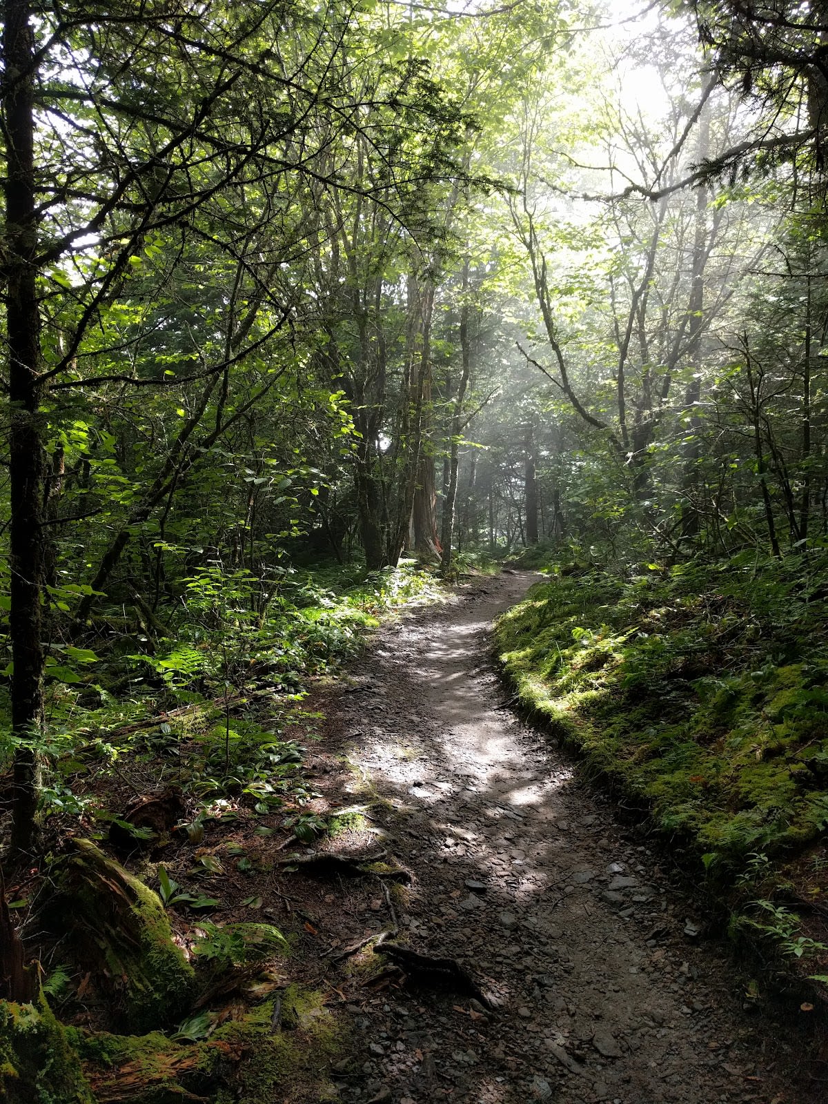
The trail is approximately 8.1 miles one way, making for a challenging day hike or an overnight backpacking trip.
It is moderate in difficulty due to the distance and elevation, but it has fewer steep sections compared to other routes to Mount LeConte.
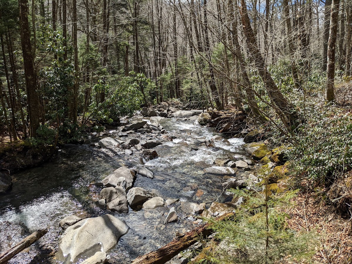
Water is scarce along the trail, so hikers should carry sufficient water for the entire trip.
Yes, the trail passes through diverse habitats where sightings of black bears, deer, and many bird species are common.
Backcountry camping is permitted with a valid permit, but camping is only allowed at designated sites near Mount LeConte.
Branded Locale sticker set arriving soon. Use the heritage benchmark and the editorial portrait on your water bottle, laptop, or Instagram story.